Table of Contents
- Building a Complete Camping Navigation System for 2026
- Best Handheld GPS for Hiking: What to Look For
- Offline Navigation Apps for Camping: Strengths and Limits
- Paper Maps and Compass for Hiking: Your Non-Digital Backup
- Satellite Messenger for Remote Camping: When You Need One
- Power Management for Multi-Day Trips
- How to Choose Navigation Tools by Trip Conditions
- Conclusion: Test Your Setup Before You Rely On It
- Frequently Asked Questions
Last Updated: October 6, 2026
Building a Complete Camping Navigation System for 2026
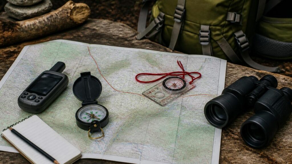
Reliable camping navigation tools in 2026 means building a layered system, not buying one gadget. A handheld GPS, a phone app with offline maps, a paper map and compass, and a satellite messenger each cover a different failure point.
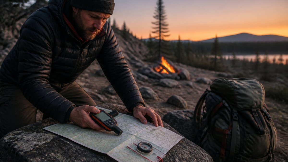
Camping navigation is the practice of determining and following your position and route in remote areas using a combination of electronic devices, physical maps, and directional tools.
Most guides treat these as separate purchases. We think that misses the real question, which is what happens when one layer fails. Below, we break down each layer, what to look for, and how to test the whole system before a trip.
Best Handheld GPS for Hiking: What to Look For
The best handheld GPS for hiking is one you can read in glare, operate with gloves on, and trust when your phone is dead. Prioritise satellite reception, battery style, and rugged construction over screen size. Most practitioners find that a mid-range unit with multi-band reception outperforms a larger-screened unit that struggles under dense canopy.
Key Specs That Matter on the Trail
- Multi-band accuracy locks onto more satellite signals, which matters under tree cover and in gorges. Single-band units can drift by tens of metres in steep terrain; multi-band units typically hold a tighter fix.
- Battery type: replaceable batteries let you carry spares; rechargeable units need a power bank. For trips beyond two nights, replaceable wins on certainty.
- Water resistance and weatherproof housing for sustained rain. Look for an IPX7 rating or better, which means the unit survives accidental immersion, not just splashes.
- Physical buttons so you can navigate without removing gloves or wetting a touchscreen.
- Preloaded topographic maps for your region, plus support for GPX routes and waypoints.
- Track recording so you can retrace your exact path back to camp if visibility drops.
- Barometric altimeter and three-axis compass built in, which give you elevation and bearing without a separate instrument.
Geoscience Australia’s topographic mapping guidance explains how official topographic data is structured, which helps you judge whether a device’s preloaded maps are detailed enough for backcountry navigation.
How to Verify Reception Before You Rely On It
A device that works in a car park may fail in a gorge. Before a serious trip, walk a familiar route and watch the accuracy readout. Most units display an estimated accuracy figure in metres; if it stays above roughly 10 metres under open sky, something is wrong with the settings or the unit.
Check satellite acquisition time from a cold start. A healthy unit locks on within a minute or two in the open. If it takes five minutes or more, update the firmware or check for a clear view of the sky.
Record a track on a short walk, then compare it against a known route on a paper map. If the track wanders off the path by more than the width of the trail, your reception is marginal for that terrain.
What to Skip
Screen size and camera features rarely matter for navigation. A larger screen drains battery faster and is harder to read in direct sun. A camera adds weight and cost without improving your position fix. Spend the difference on a spare battery set or a better paper map.
Matching the Device to the Trip
A compact unit with replaceable batteries suits multi-day remote routes where weight and power certainty matter. A larger unit with a bigger screen and rechargeable battery suits shorter trips where you can top up from a power bank each night. Neither is universally better; the trip decides.
Offline Navigation Apps for Camping: Strengths and Limits
Offline navigation apps are the cheapest entry point, and they are genuinely capable. Their weakness is battery life and signal loss, not map quality.
What to Download Before You Leave
- Download map tiles for your entire route, not just the trailhead
- Save GPX routes and waypoints locally
- Test in airplane mode at home to confirm the maps actually open offline
- Carry a power bank sized for multi-day use
Phone GPS works without mobile signal because it reads satellites directly. What fails is everything else: map tiles you forgot to download, location sharing that needs a network, and emergency SOS that needs either cellular coverage or a satellite-capable device. Treat the phone as your convenience layer, not your safety layer.
Paper Maps and Compass for Hiking: Your Non-Digital Backup
A paper map and compass for hiking is the only navigation layer that cannot run out of battery. It weighs almost nothing and works in any conditions, provided you know how to use it.
Buy a waterproof map of your specific area and laminate it if needed. Learn declination adjustment for your region, because magnetic north and grid north differ, and that gap changes by location. Geoscience Australia’s magnetic declination information lets you check the correct value before you go.
Storing a compass next to a phone, speaker, or magnet can throw off the needle. Keep it in a separate pocket and check it against a known bearing before you rely on it.
Satellite Messenger for Remote Camping: When You Need One
A satellite messenger for remote camping is worth carrying when you travel beyond reliable mobile coverage and no one else is nearby. It sends emergency SOS and location sharing over satellite networks rather than phone towers.
You need one if you camp solo, travel in remote areas, or lead a group with less experienced members. You can skip it on well-trafficked, signed trails with regular phone signal. The device is not a navigation tool on its own, so pair it with a GPS or map rather than treating it as a replacement.
Power Management for Multi-Day Trips
Battery runtime decides which tools survive a multi-day trip. Plan power per device, not per trip. A common pattern is that campers charge everything to full, then discover on night two that the phone app has drained the power bank and the GPS is down to its last bar.
Realistic Runtime by Device
Manufacturer figures are measured under ideal conditions. In the field, expect less. A handheld GPS with replaceable batteries typically runs 12 to 20 hours on a set, depending on backlight use and track recording. A phone running an offline map app with the screen on can drain a full battery in three to five hours. A satellite messenger usually lasts several days on a charge because it transmits in short bursts. A power bank rated at 10,000 mAh will recharge a typical phone about twice, and a handheld GPS once or twice, before it is flat.
Cold-Weather Effects
Cold drains batteries faster. Lithium-ion cells, which power most phones and power banks, lose capacity as temperatures drop below about 5°C. At freezing, a phone that lasts five hours in summer may last two. The mechanism is a temporary increase in internal resistance, not permanent damage, so a cold battery often recovers when warmed.
Keep power banks and spare batteries in an inside pocket or a sleeping bag overnight. Do not leave them in a pack pocket exposed to the cold. A hand warmer next to a power bank in a sealed bag can restore usable capacity, but never let moisture reach the terminals.
Charging Plan for a Multi-Day Trip
Work out total draw before you leave. Add the daily draw of each device, multiply by the number of days, then add one spare day of capacity. That total tells you the minimum power bank size.
- Handheld GPS: carry a spare set of batteries or a matched rechargeable set. Replaceable batteries are the simplest backup.
- Phone app: use airplane mode, keep screen-on time short, and cache maps in advance. A phone in airplane mode still receives GPS.
- Satellite messenger: charge before departure and top up from the bank only if needed. Its draw is low.
- Power bank: size to total device draw plus one spare day. A 20,000 mAh bank suits most two-to-three-night trips.
Solar and Other Options
A solar panel helps on longer trips but should never be your only source of power. Panel output depends on sun angle, cloud, and shade, and a folded panel strapped to a pack rarely delivers its rated wattage. Treat solar as a top-up, not a plan. A small folding panel can add a few hours of phone use per sunny day, which is useful but not dependable.
Do not charge devices in a tent in wet conditions. Condensation and spilled water can short a power bank or a charging port. Charge in a dry, ventilated spot and keep connectors clean.
Testing Your Power Plan
Before a multi-day trip, run a full day at home using only the power you plan to carry. Note how much each device drains and how much the power bank loses. If the bank is below half after one simulated day, your plan is too tight. Adjust by adding capacity, reducing screen time, or switching the GPS to replaceable batteries.
How to Choose Navigation Tools by Trip Conditions
Match tools to conditions, not to marketing. A day walk on a marked trail needs far less than a multi-day remote route.
- Short marked trails: phone app plus a printed map
- Overnight or unfamiliar terrain: handheld GPS plus paper map and compass
- Remote multi-day routes: all four layers, including a satellite messenger
- Group trips: at least two people carrying independent navigation
Beginners should start with a phone app and paper map, then add a handheld GPS as confidence grows. Experienced backcountry travellers already know their preference, so the priority is testing that every layer still works.
Conclusion: Test Your Setup Before You Rely On It
The failure point in most navigation setups is not the gear, it is the lack of a test run. Before any serious trip, walk a familiar route using only your backup layer, confirm your offline maps open in airplane mode, and check your compass against a known bearing. CampNation stocks durable navigation gear built to perform in real outdoor conditions, backed by quick and reliable shipping so your setup is ready before you leave. Browse our range and build a system you can trust.
Frequently Asked Questions
Can a phone GPS work without mobile coverage?
Yes. A phone’s GPS chip receives satellite signals independently of mobile towers, so position fixes still work in areas with no coverage. What stops working is map loading, live traffic, and messaging. Download offline maps for your route before you leave, and carry a power bank because GPS tracking drains a phone battery quickly. Treat the phone as one tool in a camping navigation setup, not the only one.
Should campers carry a paper map and compass as a backup?
Yes, especially on multi-day or remote trips. Electronics fail through flat batteries, water damage, or signal loss in steep gullies. A waterproof topographic map and a baseplate compass weigh little and need no power. Learn to set declination and take a bearing before your trip, and practise at home so the skills are there when you need them. It is the cheapest redundancy you can pack.
What navigation tools should you pack for an off-grid trip?
A practical kit combines a handheld GPS or phone with preloaded offline maps, a paper topographic map and compass, and a satellite messenger for emergency SOS and location sharing if you are going beyond reliable coverage. Add a power bank or spare batteries sized to your trip length. Test every device on a short local walk first, so you know how the menus, tracks, and waypoints work before conditions get serious.
How do you choose a GPS device for remote camping?
Match the device to your conditions. For weekend trips on marked trails, a phone with offline navigation apps for camping is often enough. For multi-day routes, look for a handheld GPS with multi-band accuracy, preloaded topographic maps, and either replaceable batteries or long battery runtime. If you travel solo into remote areas, add a satellite messenger. Physical buttons help in cold or wet weather when a touchscreen becomes hard to use.
A reliable navigation system is only as good as the trip you have tested it on. CampNation supplies premium, carefully selected camping equipment designed to last across remote trips, from essential hiking tools to smart add-ons. Shop the CampNation range today and head out with gear built for confident, prepared adventures.